We awoke this morning in
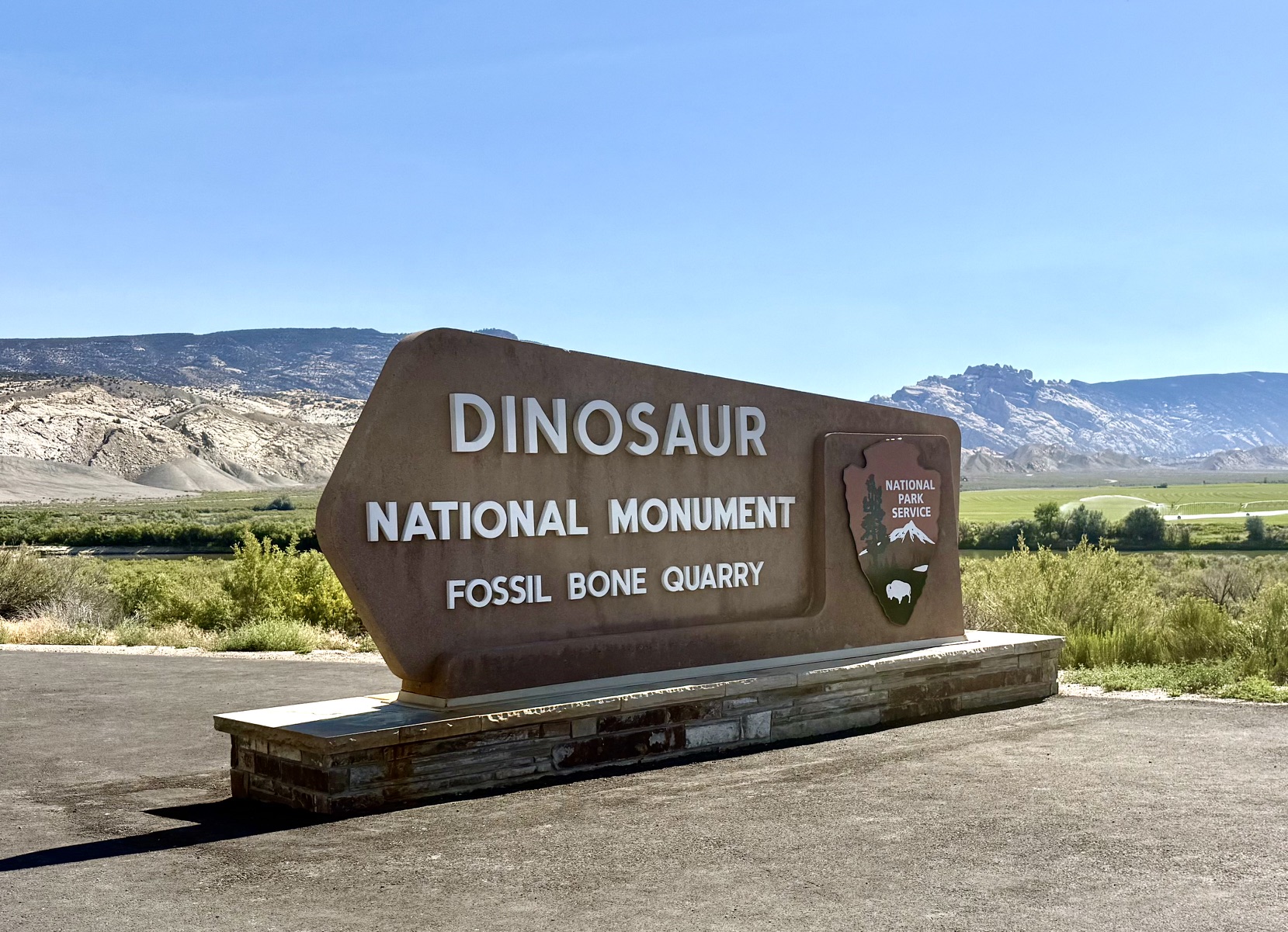
Vernal, UT. Our sightseeing adventure was at the Dinosaur National Monument,
near Vernal.
Approximately 130 million years ago, this area was a flat river valley
where many dinosaurs lived. A prolonged drought caused the river to dry up
and a large number of different dinosaurs died near the old river bed.
Before their bones could decay, torrential rains returned, jumbled the bones all
together and covered them with silt which protected and preserved them.
Over time, the Pacific tectonic plate crashed into the North American plate caused a lot of uplifting, including the Rocky Mountains. Locally, the ancient river bed was uplifted into the hills near Vernal.
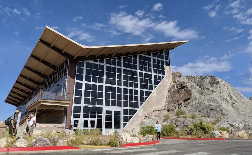
Dinosaur National Monument was created to preserve and display these
ancient life forms. The largest exhibit is called Quarry Exhibit Hall,
where they removed half of one of the hills, exposed the fossilized
bones therein and built an exhibit hall where the other half of the
hill used to be.
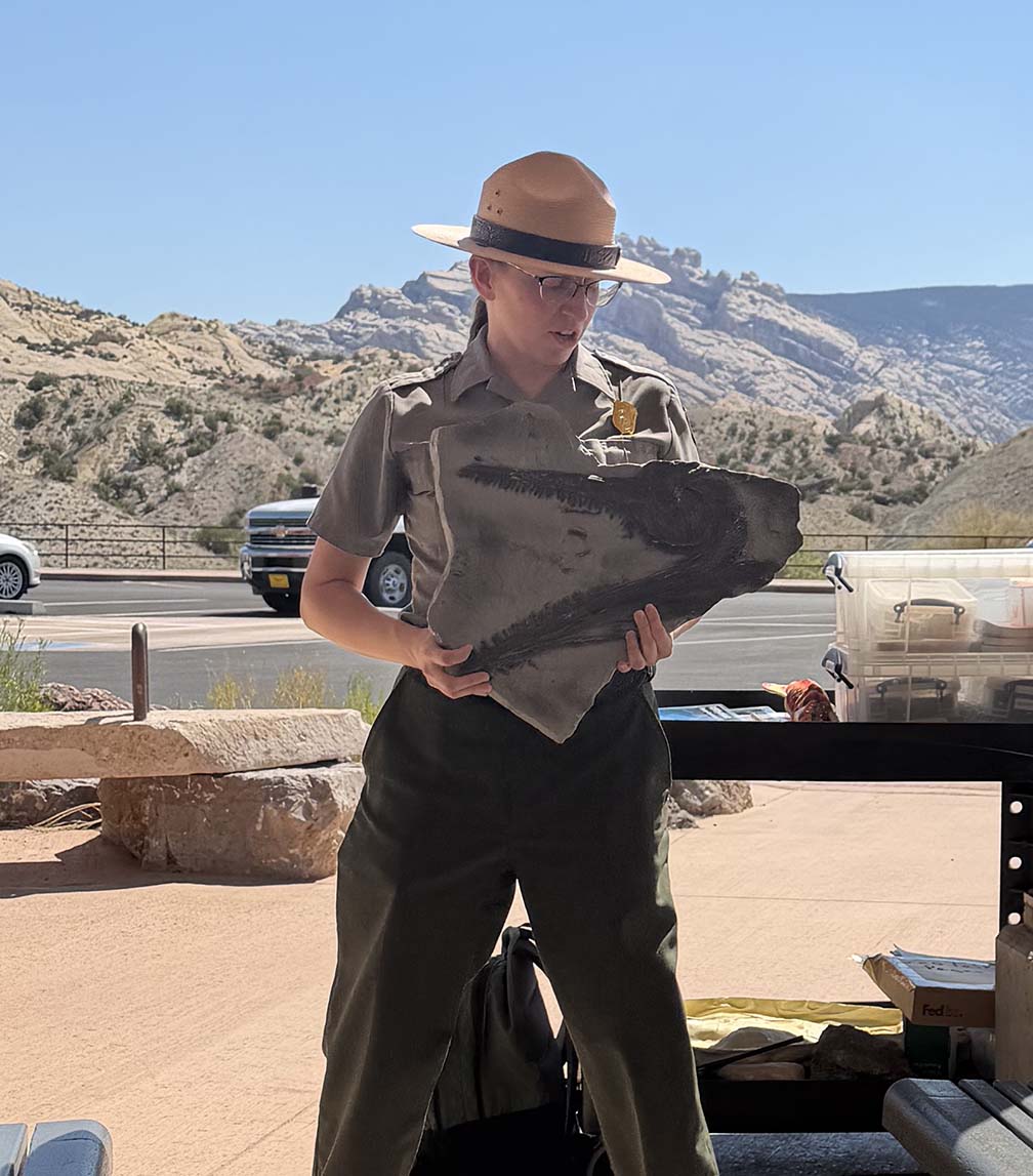
We attended a ranger talk on the geology on the monument. The
talk was perfectly pitched for a wide range of ages in the audience. Here is
a photo of our ranger, Emily, showing a fossilized head of an
ichthyosaur, a large extinct marine reptile.
Once inside the exhibit hall, Bruce took a video of the fossilized bones
in the remaining hillside.
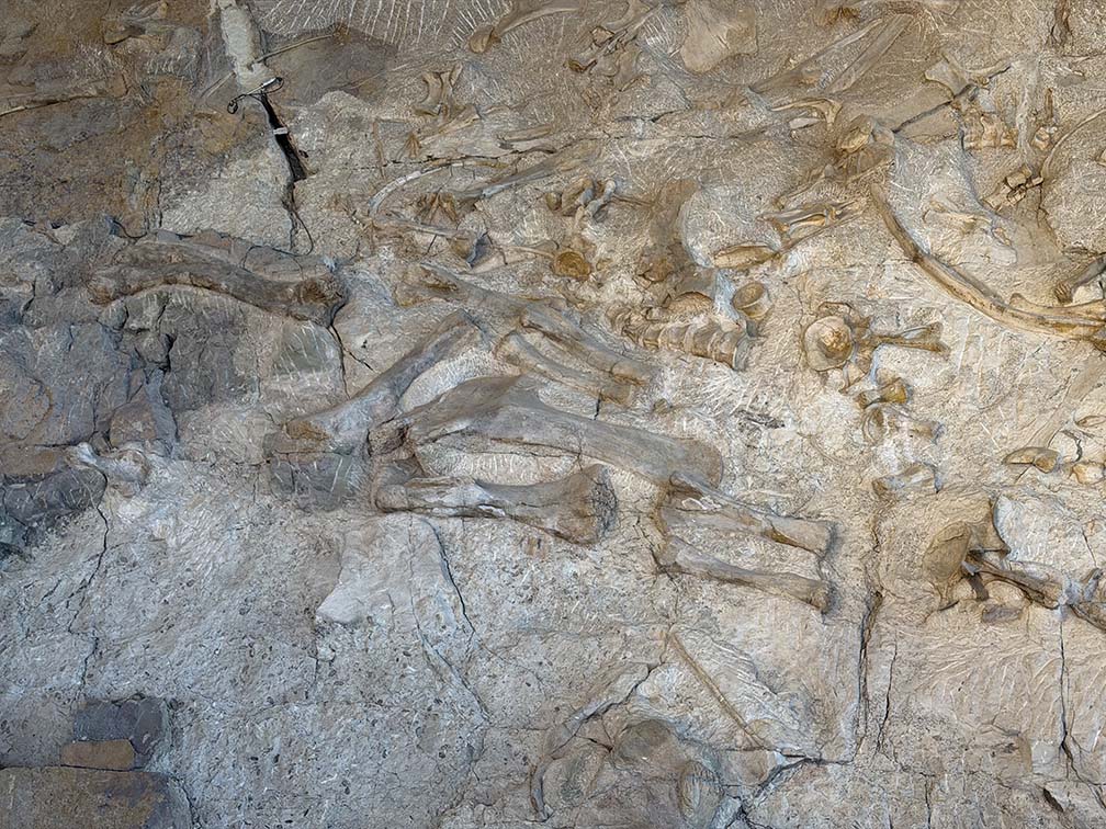
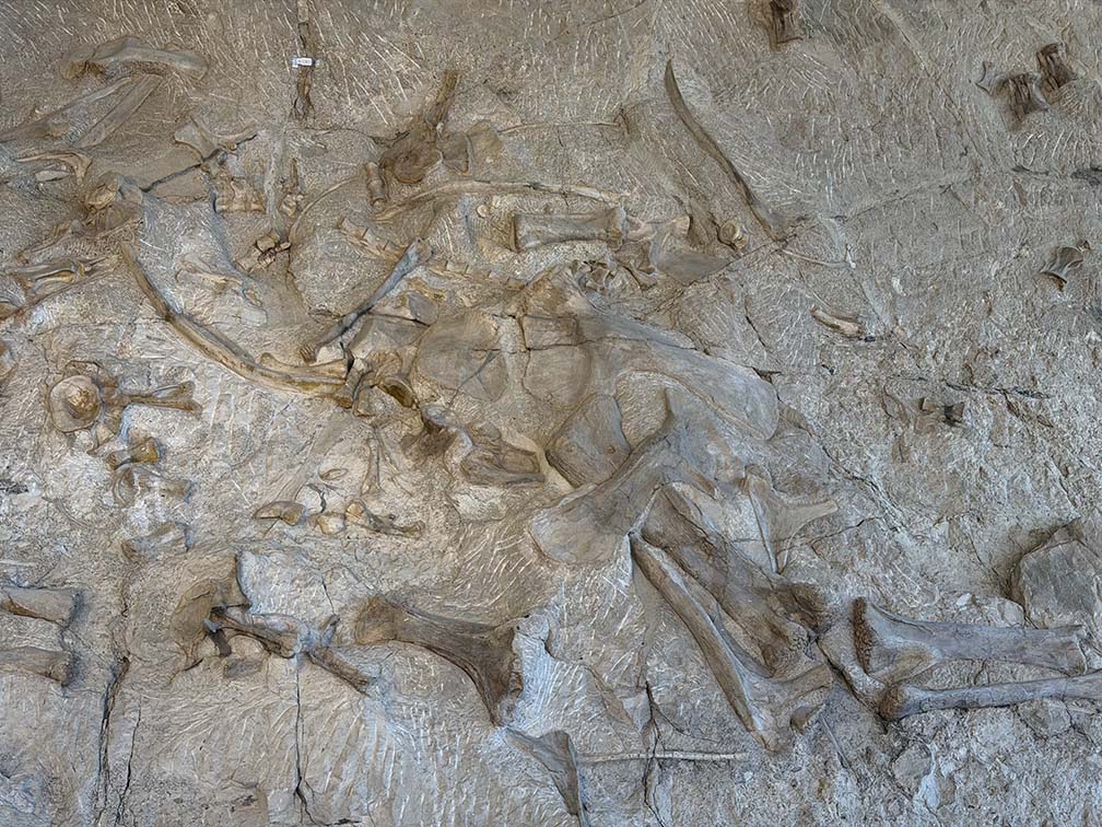
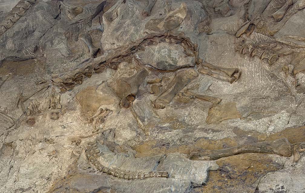
Here are some closeups of bones in the wall. The wired sensors that you can see are
measuring the width of cracks.
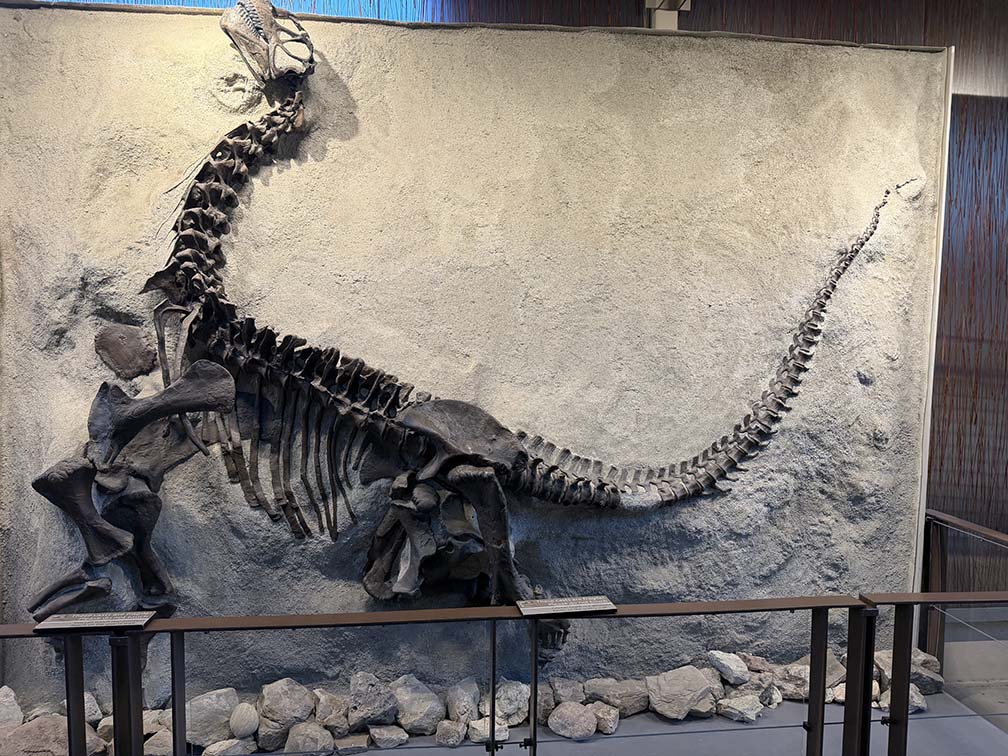
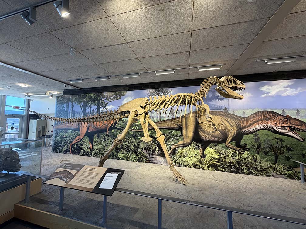
Some of the dinosaur bones were nearly complete. Here is an nearly complete
skeleton of an allosaurus and a reconstructed allosaurus skeleton.
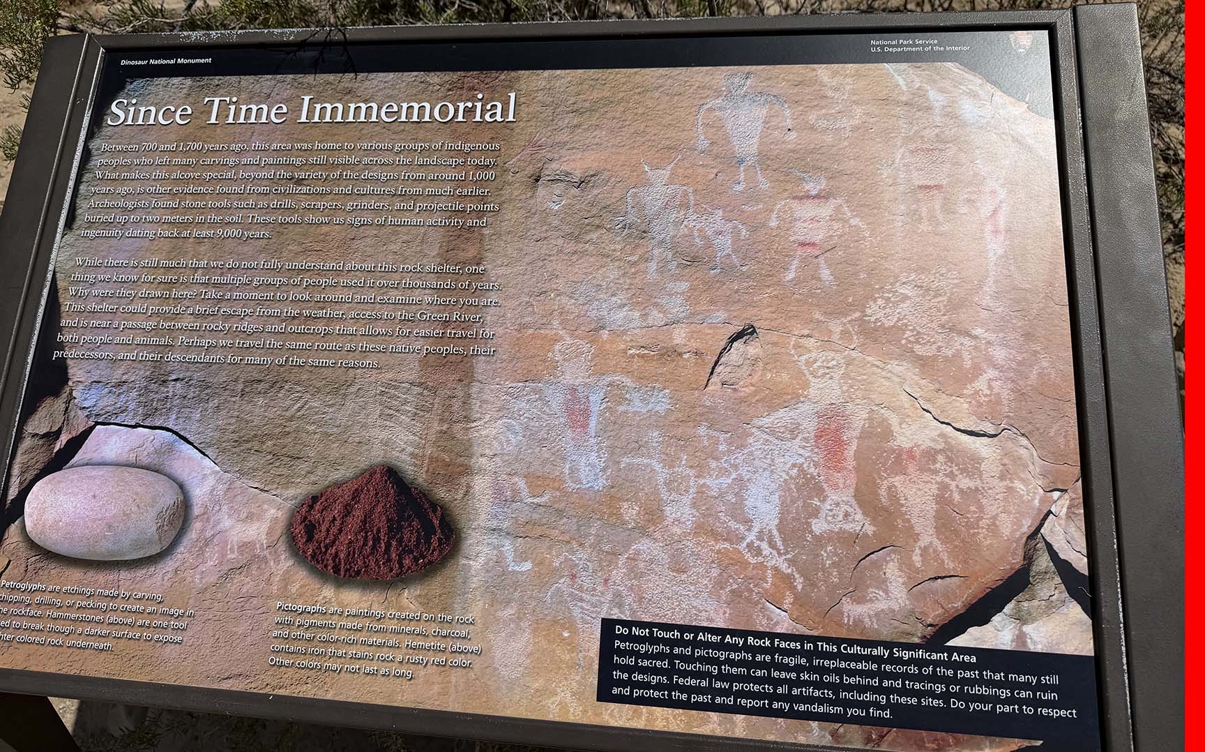
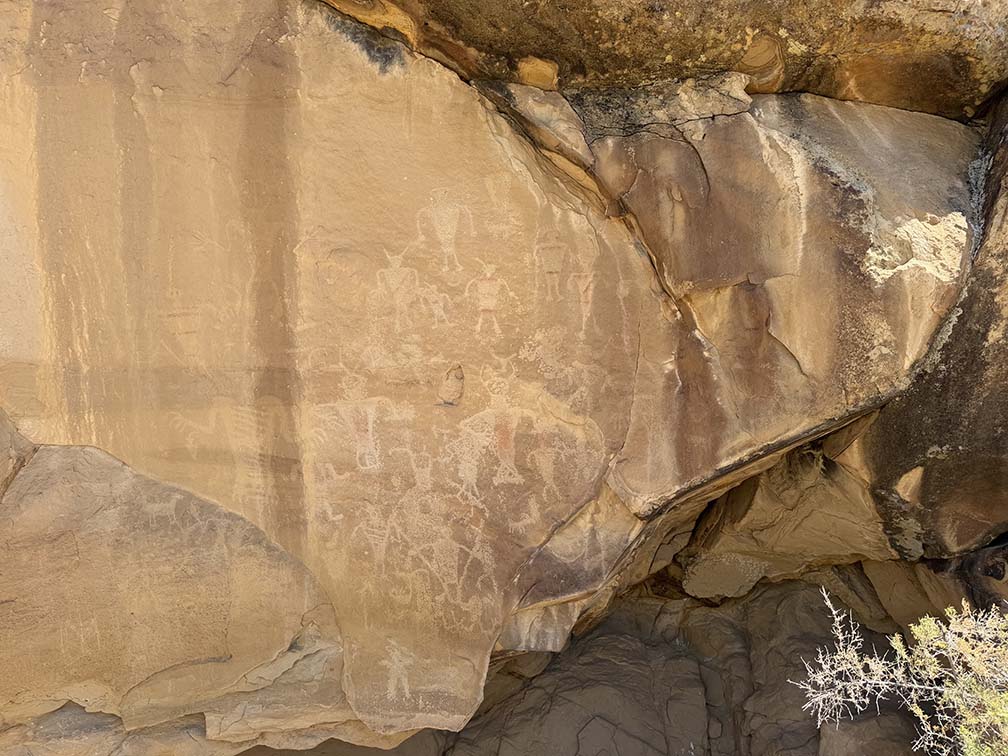
After leaving the exhibit hall, we drove further into the monument to where there
were other sights to see, including petroglyphs. The petroglyphs were less than 1000
years old, but
stone tools found near these petroglyphs possibly indicate human habitation of
the area up to 10,000 years ago.
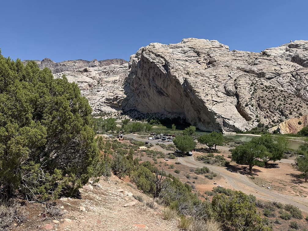
The Green River has been flowing for a very long time. As the mountain was uplifted by
plate tectonics, the river keep cutting through, creating what is named Split Mountain.
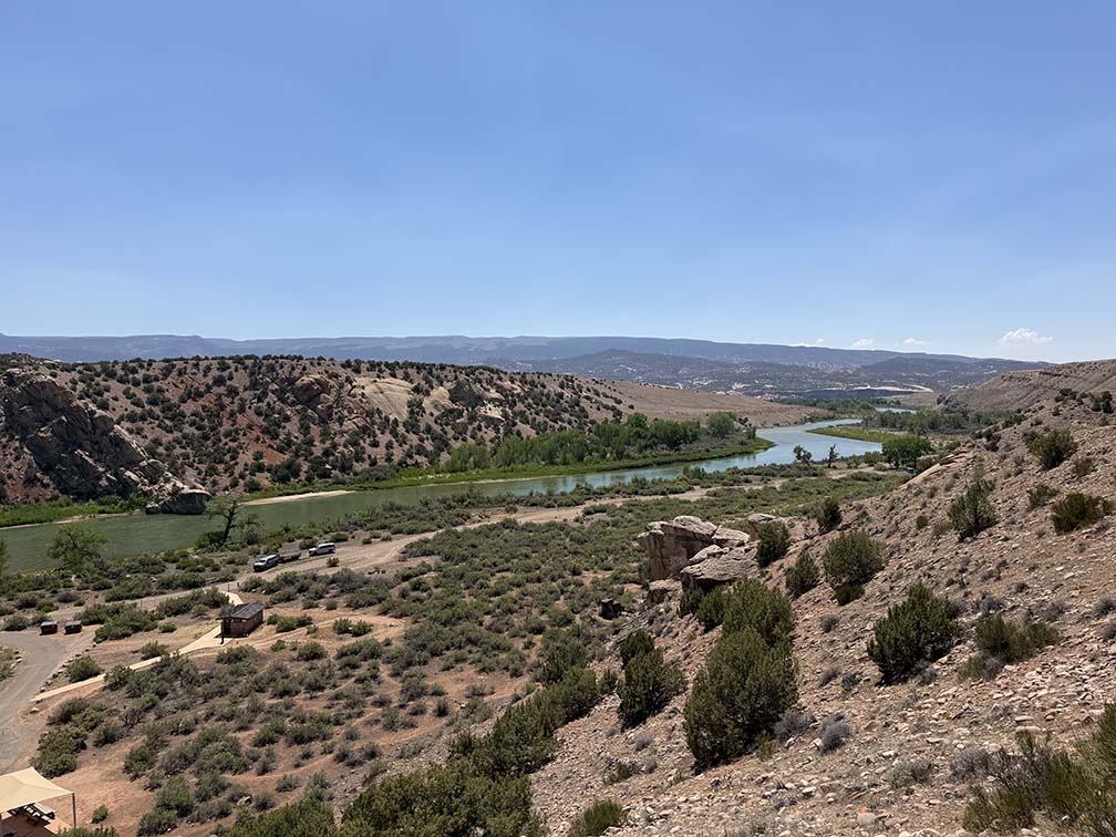
Also, here is a picture of the nearby downstream Green River.
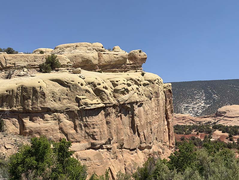
Turtle Rock is the name most often suggested for this rock formation
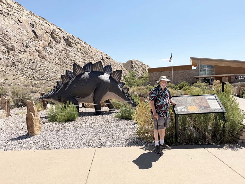
Leaving the monument, Bruce took a picture of Dick outside the Visitor Center with
a stegosaurus model in the background.
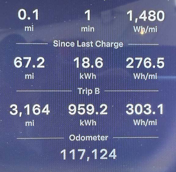
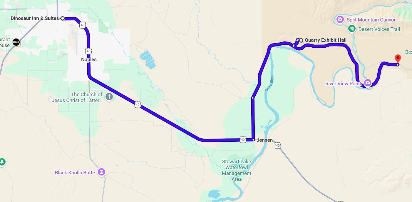
At the end of the day we drove 60 miles.